Remote Sensing and GIS in Civil Engineering 2026
Updated on: 02 March, 2026
Remote sensing and Geographic Information Systems (GIS) have shifted civil engineering from “point-based” decisions (limited surveys, sparse sensors) to area-wide, repeatable, and evidence-driven planning. As India accelerates its focus on smart cities, digital infrastructure, and sustainable development, geospatial technologies are reshaping the way civil engineers design, plan, and manage projects.
At SGT University, the Department of Civil Engineering, under the School of Engineering & Technology, integrates Remote Sensing and GIS into its academic and practical training framework, ensuring students are well-prepared for the evolving demands of India’s infrastructure sector.
Strong Academic Foundation in Civil Engineering
The civil engineering department at SGT University is well-known for its robust academic curriculum, which emphasises the integration of cutting-edge technologies such as GIS and remote sensing with fundamental civil engineering concepts. The curriculum is strongly supported by the experienced faculty members, modern pedagogy, state-of-the-art research and laboratory facilities, which ensure students gain in-depth knowledge of:
- Spatial data interpretation
- Infrastructure systems analysis
- Urban and regional planning concepts
- Environmental and sustainability-driven engineering
Industry-Oriented Learning with Advanced Technologies
To overcome the gap between classroom learning and industry requirements, the Department of Civil Engineering at SGT University adopts a "learning by doing" approach supported by modern geospatial tools and technologies. Here, students gain practical exposure through:
- GIS-based spatial modelling and infrastructure mapping
- Remote sensing and satellite imagery analysis
- Drone surveying and photogrammetry applications
- LiDAR-based terrain and infrastructure assessment
- BIM–GIS integration and Digital Twin concepts
With the help of project-based learning and laboratory learning, students move beyond conventional engineering methods to adopt technology-enabled, innovative engineering solutions aligned with industry and government infrastructure initiatives.
Expanding Career Opportunities in Remote Sensing & GIS
With India’s growing focus on infrastructure digitisation and integrated planning platforms such as PM GatiShakti, demand for geospatially skilled civil engineers is increasing rapidly. Graduates can explore diverse career opportunities, including:
- GIS Analyst / Geospatial Data Analyst
- Drone data/photogrammetry/LiDAR Analyst
- Infrastructure Planning & Delivery Professional
- BIM–GIS / Digital Twin Engineer
- Urban & Rural Governance and Land Records Specialist
The curriculum significantly enhances employability, adaptability, and long-term career progression in both public and private sectors.
Student Development Initiatives at SGT University
The Department of Civil Engineering at SGT University actively supports the holistic development of the students through:
- Skill-based training programs
- Industry expert lectures, technical seminars, and guest sessions
- Research-driven academic projects and innovation support
- Career guidance for higher education, competitive exams, and placements
These initiatives help students build technical expertise, professional confidence, and leadership skills.
Focus on Infrastructure Development and Sustainability
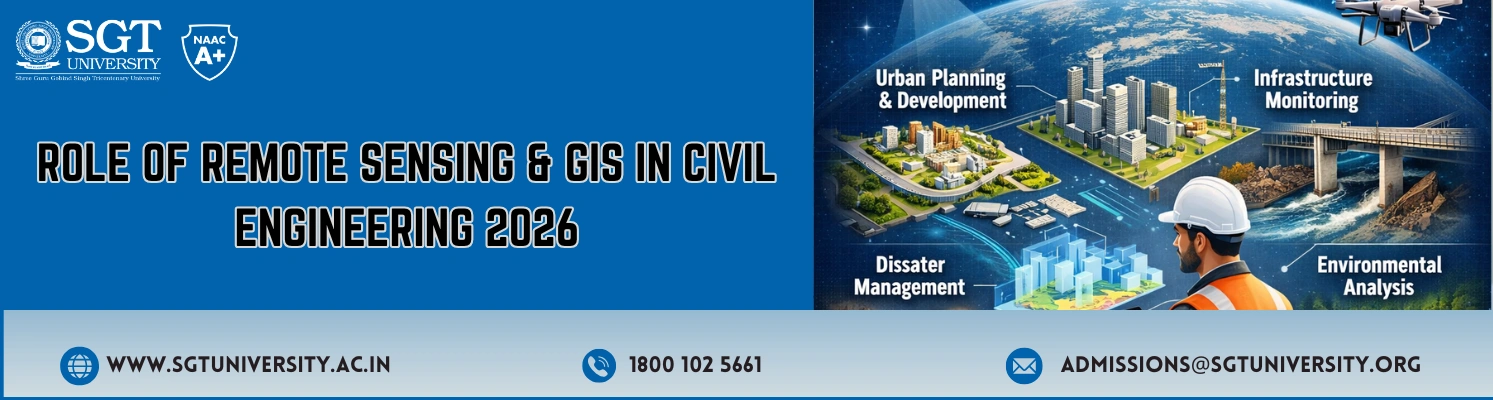
Sustainability and resilient infrastructure are key pillars of civil engineering education at SGT University. Through Remote Sensing and GIS applications, students learn sustainable approaches to:
- Land-use and urban planning
- Environmental impact assessment
- Water resources and flood management
- Smart cities and transportation networks
- Climate-responsive infrastructure development
The above pointers ensure students contribute responsibly to India’s sustainable infrastructure goals.
Why Choose Civil Engineering at SGT University?
SGT University offers various compelling reasons for students to choose Civil Engineering, including:
- Future-ready and industry-aligned curriculum
- A strong focus on technology-driven, hands-on learning
- Focus on infrastructure development and sustainability
- Comprehensive student development and career support
- Exposure to GIS, remote sensing, drones, LiDAR, and BIM–GIS integration
The Department of Civil Engineering at SGT University offers an ideal learning environment and industry experience for those seeking to work in infrastructure development, smart cities, geospatial technology, or sustainable planning.
Written By:
Dr. Aniruddha Khatua
Assistant Professor
Department of Civil Engineering
School of Engineering & Technology